Satellites Help Monitor War and Atrocities, Researchers Say
Researchers at the University of Zurich propose systematically integrating satellite imagery into conflict studies, as it documents destruction where no journalists or witnesses are present. Imagery confirmed the burning of Rohingya homes in Myanmar's Chut Pyin village in 2017.
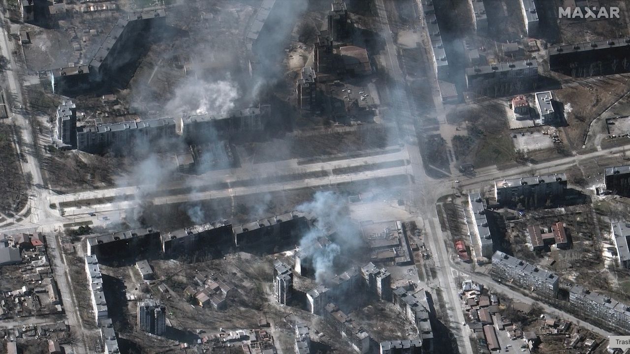
- Satellites document destruction where no witnesses or journalists are present
- Imagery confirmed burning of Rohingya homes in Myanmar in 2017
- Limitation: satellites capture only part of overflown territories
- US previously barred Planet Labs from publishing Strait of Hormuz images
Read next
Science