Drones and VLF-EM surveys can spot permafrost thaw under Arctic roads and homes
Penn State engineers are using drones with VLF-EM sensors and digital twins to map thawing permafrost beneath Arctic infrastructure. A 2025 study estimated thaw could cost Alaska $37–51 billion in building and road damage, with up to 80% of buildings and 90% of pipelines at risk by the 2090s.
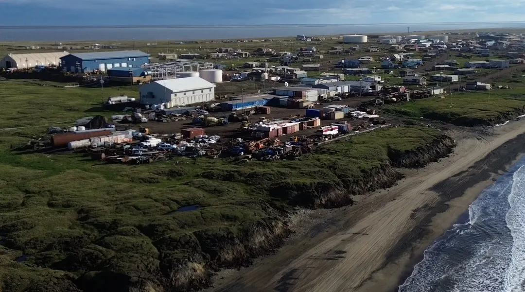
- Drone-mounted VLF-EM sensors map ground response without direct contact
- Permafrost thaw could cost Alaska $37–51 billion in infrastructure damage
- By the 2090s, up to 80% of buildings and 90% of pipelines may be at risk
- A digital twin on a 100-meter road section in Utqiaġvik combines physics and ML
Read next
Science