Europe's Sentinel-3C satellite returns first images of Earth
Europe's Copernicus Sentinel-3C satellite has delivered its first images of Earth, showing the Alps, the Canadian Arctic and the Caribbean. Its instruments have also begun measuring ocean height and Greenland's ice sheet; full commissioning will take about five more months.
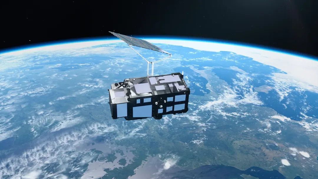
- Images were captured on September 29–30 by ocean and land color instruments
- The satellite measures ocean surface height and Greenland's ice sheet elevation
- Sentinel-3C is the third spacecraft in the Copernicus Sentinel-3 series
- Full operations begin after about five more months of testing
Read next
Science